Accomodations, Hotels, etc.  Enterprise Rent-A-Car Enterprise Rent-A-Car- (804) 575-0600
- Lake Motel
- (804) 374-8106
- Lighthouse Motel
- (804) 374-2123
- Quality Inn
- Slagle's Motel
- (804) 374-8820
Attractions - Buggs Island Lake
- Burlington Industries
- (804) 374-8111
- Howerton Antique Company
- (804) 374-5715
- Mecklenburg Cogeneration Facility
- Occoneechee State Park
- Old Wagon Factory
- Patchwork House
- (804) 374-5942
- Prestwould Plantation
Businesses - Key Construction
- Lakeside Flight
 - (804) 374-2781
- Marks Runion
- Norcarva Adamson Company
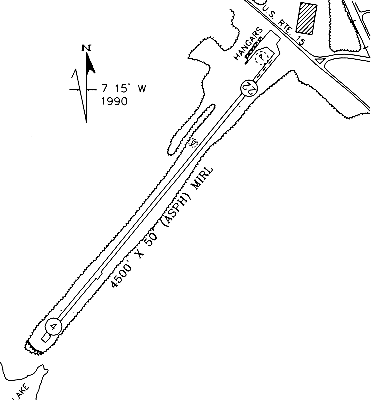
Commentary - Kerr Lake Information
Organizations - Chamber of Commerce, Kerr Lake
- (800) 557-5582
Restaurants - Burger King
- Frankie's Pizza Express
- Within walking distance of the airport, 1/4 mile south of the airport on Route 15.
- Hardees
- Lamplighter Restaurant
- Lighthouse Restaurant
- McDonalds
- Pink Giraffe
- Pizza Hut
- Pizza Pub
- Russell Stover Candies
- Russell Stover Candy Outlet
- In the Russell Stover plant, 1/4 mile east on route 722.
- Subway
- Wayside Restaurant
- Within walking distance of the airport, 1/4 mile north on Route 15.
|